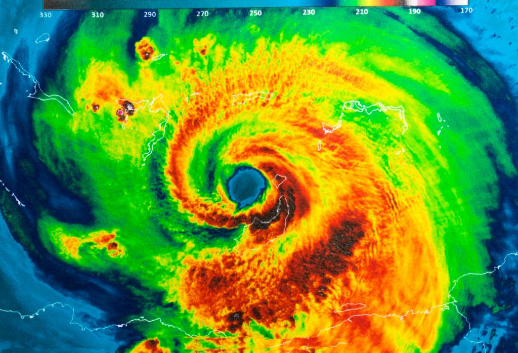
UPDATE: Hurricane Florence Impacts!
Greater chance of tropical storm force wind speeds across Midlands with highest chances (60%-80%) in the eastern Midlands and Pee Dee region in South Carolina. The more southern track has also increased the risk for tornadoes and flash flooding. Florence remains a dangerous Cat 4 with max winds of 130 mph with a NW movement of 15 mph.
WATCHES AND WARNINGS
There are no watches or warnings in effect for the Midlands or Central Savannah River Area. However, Tropical Storm Watches may be needed for our easternmost counties with the next full update at 5 p.m..
EXPECTED IMPACTS
Winds: 60% – 80% chance of tropical storm force winds (39 mph) in the eastern forecast area. Gusts may range from 40 to 50 mph with a few gusts up to 60 mph. Scattered power and communications outages with some roads impassable due to large debris.
Rainfall: 2-4” in the CSRA, 3-7” in the central Midlands, 6-10” in northern forecast area.
Tornadoes: Tornadoes will be possible along and to the right of the track of Florence, including the Midlands, Pee Dee and Catawba Regions, this is especially in South Carolina.
POTENTIAL TIMING OF TROPICAL STORM FORCE WINDS
The most likely arrival time for tropical storm force wind is Friday morning. Strong winds may continue into late Sunday.
CONFIDENCE
Any shift farther to the south in the track would increase rainfall totals across the area, and increase the threat for tornadoes.
RECOVERY PHASE WEATHER ISSUES
Florence’s slow storm movement after landfall may bring an extended period of heavy rainfall through the weekend into early next week.

